Tuesday, December 29, 2015
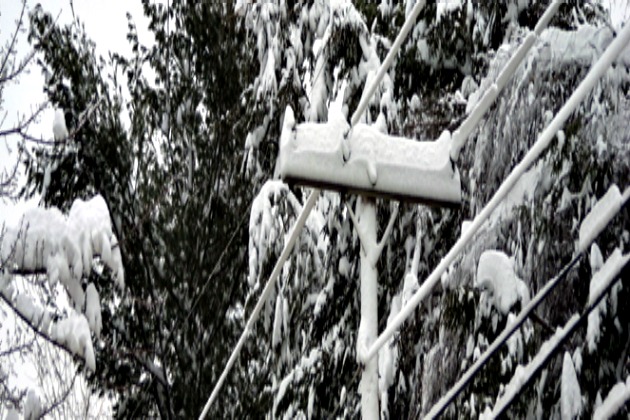
As Winter Storm Goliath sweeps across the U.S., the National Weather Service posted more storm warnings and winter weather advisories today for the Northeast from Pennsylvania to Maine.
The most significant winter precipitation area runs from north and west of Albany, New York on across central and northern Vermont, much of New Hampshire, most of north-central Massachusetts and most of Maine. Western and central Massachusetts continues to see a mix of sleet and freezing rain, and is a worrisome area for significant ice accumulations. Mixed precipitation and snow accumulation is expected across the Northeast including Maine, upstate New York and Pennsylvania. Central and southern Vermont also are experiencing this wintery mix.
In sharp contrast to a near-record heat wave that stretched across much of the U.S. during December, the first "official" days of winter ushered in different weather patterns with Winter Storm Goliath. This unusually wild weather has caused death and devastation in several states during the week of Christmas including tornados that hit parts of the South, Dallas, Texas and surrounding areas over a six-day period which caused 44 deaths; Arkansas reports 26 weather-related deaths; Missouri reports 10 deaths due to floods. Mississippi and Alabama have also reported weather-related deaths.
Widespread power outages have left hundreds of thousands of customers without power in Oklahoma, Texas, Kansas and many other states, due to freezing rain and high winds, further multiplying the challenges of cleaning up the devastation caused to homes and businesses from Eastern New Mexico to Maine.
As Winter Storm Goliath swept across the U.S. this past week causing blizzard and hazardous winter conditions in Texas, New Mexico, Oklahoma, southern Plains states and Midwest, this first winter storm has reached the Northeast and caution is urged tonight across many areas in the Northeast now seeing rain or mixed precipitation since refreezing of wet areas and black ice formation could lead to a new round of hazardous travel.
The most significant winter precipitation area runs from north and west of Albany, New York on across central and northern Vermont, much of New Hampshire, most of north-central Massachusetts and most of Maine. Western and central Massachusetts continues to see a mix of sleet and freezing rain, and is a worrisome area for significant ice accumulations. Mixed precipitation and snow accumulation is expected across the Northeast including Maine, upstate New York and Pennsylvania. Central and southern Vermont also are experiencing this wintery mix.

In sharp contrast to a near-record heat wave that stretched across much of the U.S. during December, the first "official" days of winter ushered in different weather patterns with Winter Storm Goliath. This unusually wild weather has caused death and devastation in several states during the week of Christmas including tornados that hit parts of the South, Dallas, Texas and surrounding areas over a six-day period which caused 44 deaths; Arkansas reports 26 weather-related deaths; Missouri reports 10 deaths due to floods. Mississippi and Alabama have also reported weather-related deaths.
Widespread power outages have left hundreds of thousands of customers without power in Oklahoma, Texas, Kansas and many other states, due to freezing rain and high winds, further multiplying the challenges of cleaning up the devastation caused to homes and businesses from Eastern New Mexico to Maine.
As Winter Storm Goliath swept across the U.S. this past week causing blizzard and hazardous winter conditions in Texas, New Mexico, Oklahoma, southern Plains states and Midwest, this first winter storm has reached the Northeast and caution is urged tonight across many areas in the Northeast now seeing rain or mixed precipitation since refreezing of wet areas and black ice formation could lead to a new round of hazardous travel.

